At TerraGen, we are committed to advancing geospatial intelligence, remote sensing, and AI-driven analytics to address critical environmental and infrastructure challenges. Our ongoing research and development (R&D) initiatives involve doctoral researchers collaborating with leading professors from top Canadian and U.S. universities, working on cutting-edge solutions in environmental monitoring, urban resilience, and sustainable resource management.
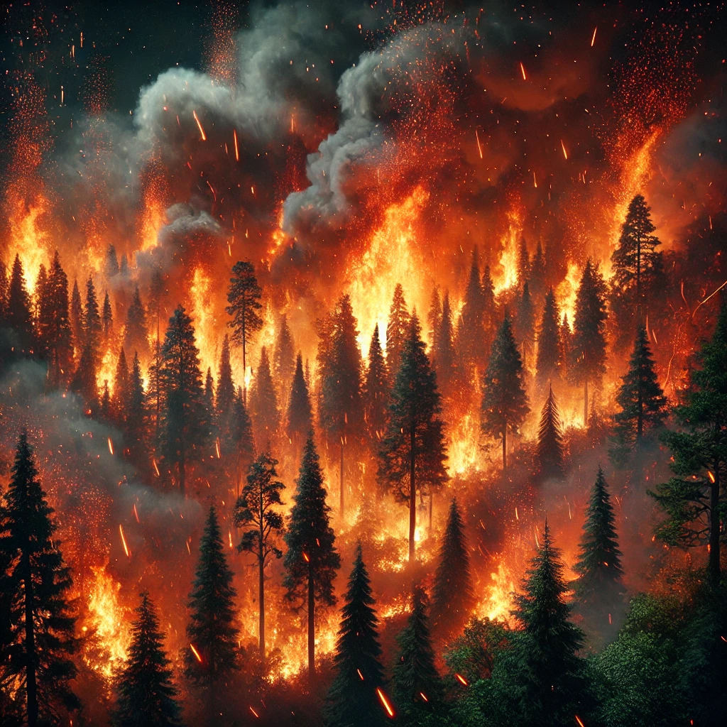
Wildfire Prediction and Risk Mitigation Using AI and Remote Sensing
Focus Area: Climate Resilience | Wildfire Detection | AI-Driven Geospatial Analysis
Wildfires are becoming more frequent, intense, and unpredictable, fueled by climate change, shifting landscapes, and extreme weather conditions. These fast-moving infernos devastate forests, homes, and infrastructure while releasing massive amounts of carbon into the atmosphere, severely degrading air quality. Traditional wildfire management approaches struggle to keep pace, often reacting too late to prevent large-scale destruction.
At TerraGen, we are revolutionizing wildfire prediction and risk mitigation by integrating AI, remote sensing, and GIS-based analytics. Our advanced system detects, predicts, and analyzes wildfire risks before they spiral out of control, empowering governments, emergency response teams, and communities with real-time insights to enhance wildfire preparedness and response.
Methodology & Tools:
- AI-Powered Predictive Modeling – Leveraging machine learning algorithms to analyze historical wildfire patterns, climate conditions, and vegetation data to predict high-risk zones.
- Real-Time Satellite and UAV-Based Monitoring – Utilizing multi-spectral satellite imagery (Sentinel-2, MODIS, VIIRS) and LiDAR-equipped UAVs to detect early signs of wildfires and track active fire fronts.
- GIS-Based Risk Mapping – Creating high-resolution geospatial wildfire risk maps, integrating weather data, fuel load models, and topographic analysis to assess fire spread potential.
- Automated Early Warning System – Providing real-time alerts and dynamic risk assessments to decision-makers, enabling faster, data-driven wildfire response strategies.
Impact & Applications:
- Enhancing wildfire preparedness and emergency response with AI-powered risk assessments.
- Minimizing property damage and ecological losses by identifying high-risk zones before ignition.
- Supporting sustainable land management and climate adaptation policies with geospatial intelligence.
- Providing communities with real-time, actionable intelligence to improve evacuation planning and resource allocation.
At TerraGen, we are committed to advancing ocean sustainability through cutting-edge geospatial intelligence, ensuring that marine ecosystems remain resilient, healthy, and protected for future generations.
Landslide Hazard Assessment Using AI and Remote Sensing
Focus Area: Geotechnical Risk Analysis | Remote Sensing | AI-Based Modeling
This ongoing study focuses on predicting and mitigating landslide risks in geologically sensitive regions using a hybrid approach combining AI-driven analytics and remote sensing data. By integrating satellite imagery, digital elevation models (DEMs), and UAV-based LiDAR scans, researchers are developing a predictive model for slope stability that enhances risk assessment and environmental resilience.
Methodology & Tools:
- Synthetic Aperture Radar (SAR-InSAR) and optical satellite data for detecting ground movement.
- pattern machine learning models (Random Forest, CNNs) for classifying high-risk zones.
- Integration of geotechnical parameters and remote sensing data for comprehensive risk analysis.
- AI-powered GIS platforms to visualize, analyze, and provide actionable insights
Impact & Applications:
- Reducing geohazard risks and improving disaster preparedness in infrastructure projects.
- Supporting policymakers in developing sustainable land-use strategies.
- Providing early warning systems for landslide-prone areas through real-time monitoring.
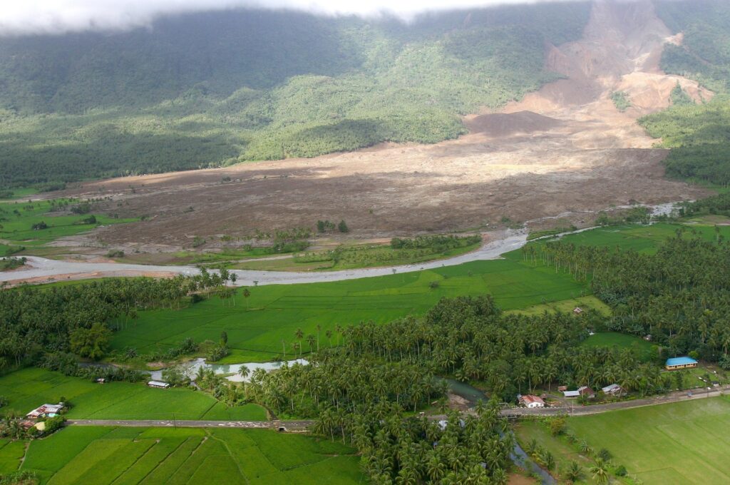
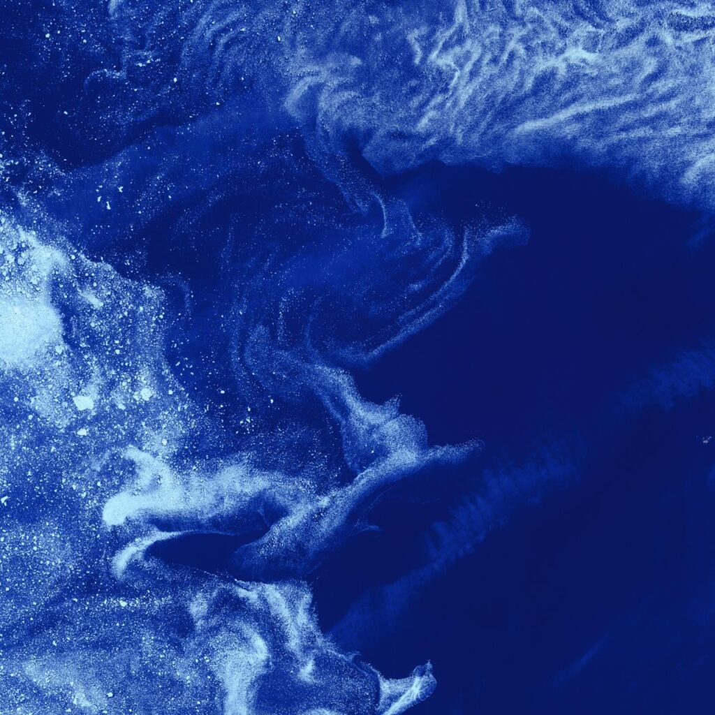
Ocean Waste Monitoring and Marine Ecosystem Protection
Focus Area: Ocean Sustainability | Remote Sensing | AI-Driven Marine Debris Detection
Marine pollution, particularly plastic waste and industrial debris, poses a significant threat to ocean ecosystems, biodiversity, and coastal communities. This project leverages satellite remote sensing, UAV-based monitoring, and AI-driven ocean analytics to detect and track marine debris, providing governments, environmental agencies, and maritime industries with real-time data to support sustainable ocean management.
Methodology & Tools:
- High-resolution satellite imagery (Sentinel-2, MODIS, VIIRS) to map floating plastic concentrations in open waters.
- AI-powered classification models for identifying and differentiating marine debris from natural ocean phenomena.
- Unmanned Aerial Vehicles (UAVs) equipped with hyperspectral sensors for localized monitoring of coastal waste accumulation.
- Integration of oceanographic data (currents, temperature, wind patterns) to predict waste dispersion and accumulation zones.
Impact & Applications:
- Enhancing government-led ocean conservation initiatives through real-time marine debris tracking.
- Supporting sustainable fisheries and maritime industries by reducing plastic pollution impacts.
- Providing critical data for international agreements on marine protection and ocean waste management.
At TerraGen, we are committed to advancing ocean sustainability through cutting-edge geospatial intelligence, ensuring that marine ecosystems remain resilient, healthy, and protected for future generations.
Schedule a visit
Call or email to schedule or check out our work
Schedule a visit
Call or email to schedule or check out our work